HD Mapping from LiDAR to OpenDRIVE
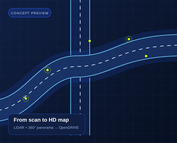
Connect real road captures to simulation and mobility workflows. Attrack combines LiDAR geometry with 360° panorama imagery to create detailed HD Map data in OpenDRIVE format.
Bring geometry and visual context together
LiDAR captures the shape of the road environment, while panorama imagery provides visual context. Combining these inputs connects road geometry with the street features visible in your capture.
Export a road network in OpenDRIVE
OpenDRIVE provides an open road-network format for compatible simulation and development tools. Agree on the road coverage and output requirements with our team so the map fits your intended workflow.
Build on roads you actually capture
A road model grounded in captured streets gives mobility teams a connection between their field data and development environment. Use the map as an input to your own simulation and mapping workflows.
Plan your pilot
Share representative LiDAR data and 360° panorama imagery, your road coverage, and the simulation or development tool that will consume the OpenDRIVE output. Include your coordinate system and map requirements.
Discuss your projectExplore related solutions
AI Road Defect Detection
Detect potholes, cracks, and rutting from street imagery with Attrack. Map road condition observations for GIS workflows and maintenance planning.
AI Traffic Sign Inventory
Build a mapped traffic sign inventory with AI detection and OCR. Connect sign classifications and extracted text to your existing GIS asset workflows.