AI Road Asset Management Solutions
High-precision geospatial AI models designed for comprehensive infrastructure auditing and predictive maintenance across global smart cities.
 Infrastructure Health
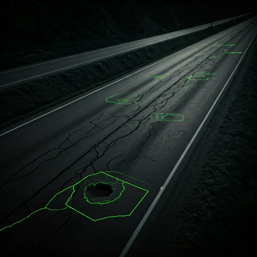
Road Defects: PCI & IRI Analysis
Spot the damage. Prioritize the fix. Attrack automatically detects potholes, cracks, and rutting, and calculates Pavement Condition Index (PCI) and International Roughness Index (IRI) scores. Turn precise road condition data into a proactive maintenance plan.
AVG PCI SCORE
DEFECT COUNT
 Asset Management
Traffic Signs & OCR Extraction
Give every sign a place in your inventory. AI detects and classifies traffic signs, while optical character recognition (OCR) reads their text automatically. Keep asset records in sync and assess sign visibility and regulatory compliance in real time.
OCR CONFIDENCE
ASSET ID

 Safety Compliance
Road Markings: Wear & Tear
Keep the way ahead clear. Attrack measures wear on lane markings and pedestrian crossings, assessing visibility and reflectivity to flag areas that need repainting. Prioritize the markings that matter most for safer journeys and autonomous vehicle navigation.
 Automatic segment classification
- Percentage-based wear calculation
- High-priority fading alerts

Lane Marking Integrity
32%CRITICAL

 Material Intelligence
Road Surfaces & Material Mapping
Know what lies beneath every journey. Map asphalt, concrete, gravel, and cobblestone across your road network, and pinpoint where materials change. Put surface insights to work in friction models, smarter traffic management, and urban drainage planning.

Explore the solutions in detail
AI Road Defect Detection
Detect potholes, cracks, and rutting from street imagery with Attrack. Map road condition observations for GIS workflows and maintenance planning.
AI Traffic Sign Inventory
Build a mapped traffic sign inventory with AI detection and OCR. Connect sign classifications and extracted text to your existing GIS asset workflows.
HD Mapping from LiDAR to OpenDRIVE
Transform LiDAR and 360° panorama scans into HD Map data with Attrack. Export road networks in OpenDRIVE for compatible simulation and mobility tools.
Ready to audit your city's assets?
Join the leading municipalities using Attrack to transform raw geospatial data into actionable infrastructure intelligence.
Get Started Now