AI Road Defect Detection
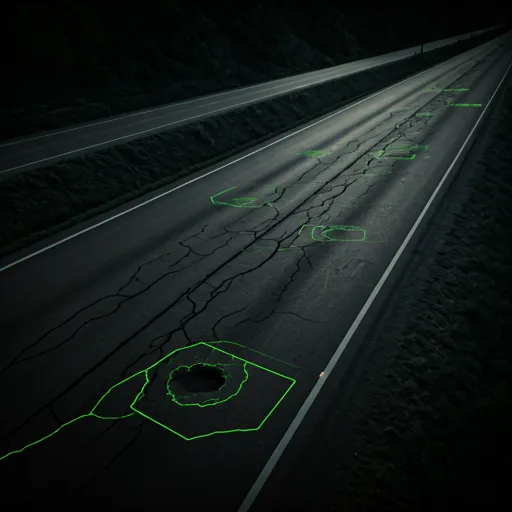
Build a clearer picture of road condition from the imagery you capture. Attrack identifies potholes, cracks, and rutting so road teams can locate damage and plan where to investigate or repair.
Find damage across your road network
Manual review of street imagery takes time as survey coverage grows. AI detection helps teams identify visible defects across captured roads and bring those observations into a shared maintenance workflow.
Connect observations to maintenance decisions
Use mapped road condition observations to identify locations for inspection, compare repair priorities, and plan maintenance coverage. Discuss PCI and IRI requirements with our team when defining your survey scope.
Bring the results into GIS
Attrack supports asset data exports in GeoJSON, CSV, and Shapefiles. Agree on the fields and output format your team needs to connect road observations with existing GIS records.
Plan your pilot
Share representative street imagery, the road network you want to cover, and the defect categories your team tracks. Include any existing condition assessment method and the GIS format you use.
Discuss your projectExplore related solutions
AI Traffic Sign Inventory
Build a mapped traffic sign inventory with AI detection and OCR. Connect sign classifications and extracted text to your existing GIS asset workflows.
HD Mapping from LiDAR to OpenDRIVE
Transform LiDAR and 360° panorama scans into HD Map data with Attrack. Export road networks in OpenDRIVE for compatible simulation and mobility tools.